AIST > GSJ > Image Database for Volcanoes > Boina
Volcano name : Boina |
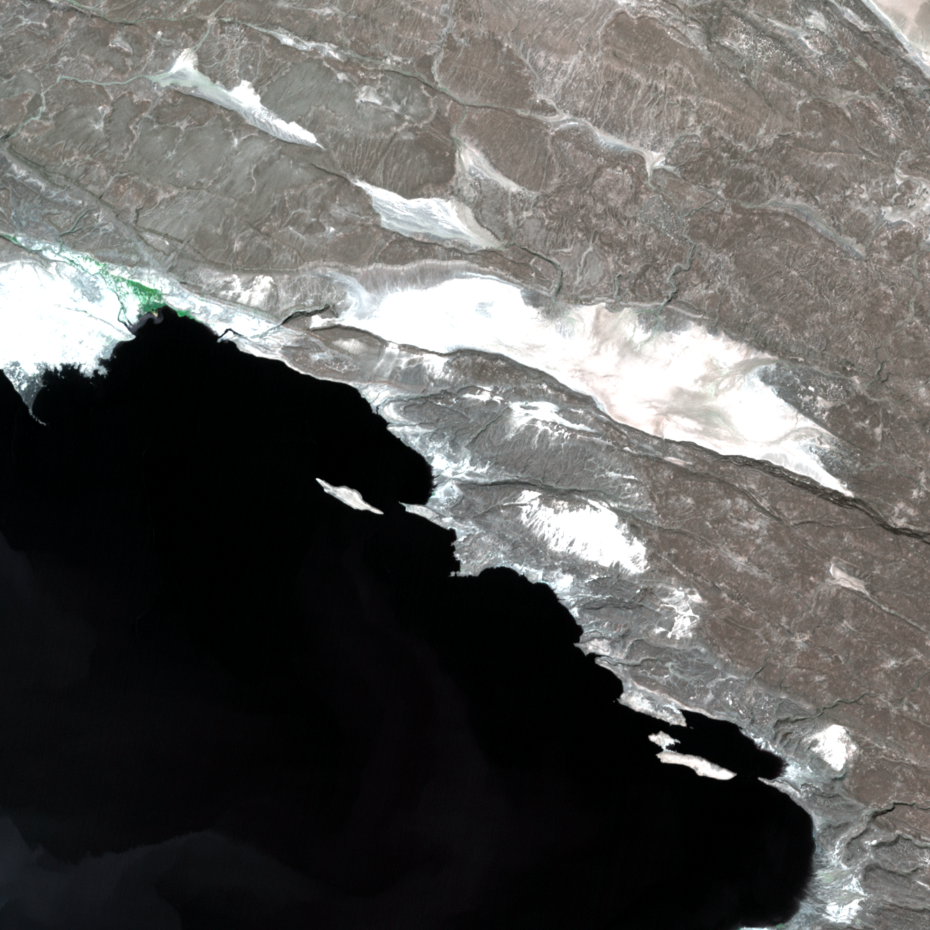
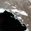 Best VNIR image |
Latitude : 11.250 degree Longitude : 41.830 degree Elevation : 700 m |
Degital Elevation Model generated with ASTER
Time series of ASTER image data
Time series of ASTER image data
Click any of thumbnail images to view the full resolution image.
Page 27 of 27 : Go to page 1 2 3 4 5 6 7 8 9 10 11 12 13 14 15 16 17 18 19 20 21 22 23 24 25 26 27 All| Date and Path | VNIR image | SWIR image | TIR image | Meta data |
|---|---|---|---|---|
| 2000.12.23 Path=166 |
|

|

|
Important_Metadata-1
Original_Metadata-1 |
| 2000.12.13 Path=039 |

|

|
Important_Metadata-1
Original_Metadata-1 |
|
| 2000.08.24 Path=167 |

|

|

|
Important_Metadata-1
Original_Metadata-1 |